
Research
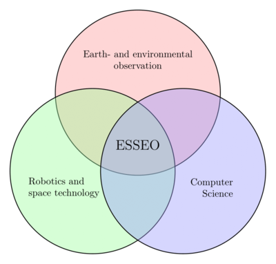
Space Technology
- Small small satellite development
- Hardware and Software
- Satellite communication networks
- Subsystem technology
Earth Observation
- Satellite image processing
- Image data fusion
- Artificial Intelligence (AI) and Machine Learning for Earth Observation
Robotics
- Robot navigation
- Human Robot Interaction and assistant robotics
- Human Brain Interface
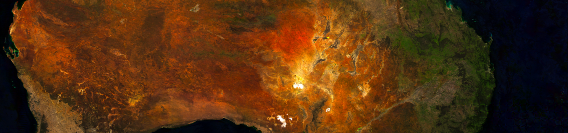
Efficient Satellite Image Processing
From Raw Satellite Imagery to Harmonized Time Series: We create end-to-end processing pipelines that combine data from multiple Earth observation missions, maximizing the use of real observations before applying advanced gap-filling and fusion methods.
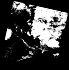
Image Fusion
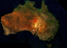
Smarter Satellite Data: We develop methods to process and fuse satellite images more efficiently—improving resolution, removing clouds, and enabling detailed monitoring for climate, agriculture, disasters, and urban planning.
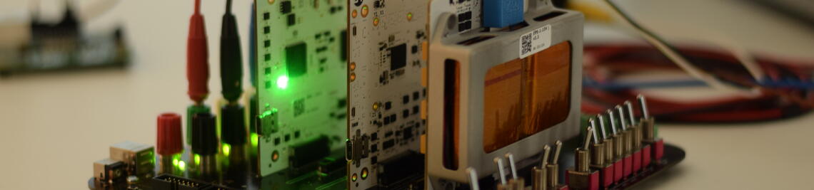
Edge Inference for Robots and Satellites
Efficient AI for Robots & Satellites: We explore how machine learning models can run directly on-board, optimizing limited resources for faster decisions, reduced data load, and greater autonomy.
VAMEX
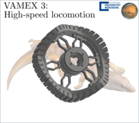
Within the VAMEX project, we contribute to advanced rover mobility concepts for the first German mission to Mars, focusing on high-speed locomotion and mechanically robust rover designs derived from bio-inspired principles.
UWE-5
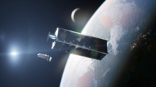
In the UWE-5 mission we aim to use two 3U-Cubesats to demonstrate integration of small satellite formations into a 5G communications network using Ka-band communication.
FORnanoSatellites
Modular and Standardized Nanosatellites: We develop unified hardware and software architectures that enable plug-and-play satellite components—streamlining design, boosting reliability, and scaling small-satellite production for diverse space missions.
Measurement Boxes for Environmental Observation
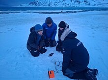
Using Embedded Systems to understand our environment: Using portable and stationary self-developed measurement boxes, we measure and log environmental information, particularly in arctic regions.
Super-Testsite - Cargo bike for environmental monitoring
Interdisciplinary project for collecting environmental information: Sensors attached to bicycles collect data on air quality, vegetation, noise, and urban heat islands over a two-week period, which is then evaluated by scientists and students.
SENTRY
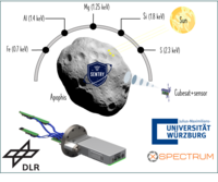
Remote sensing in the X-ray band: With SENTRY, the chair leads the development of technologies for X-ray–based navigation and remote sensing. The project focuses on advanced detector concepts and system-level studies for spaceborne X-ray applications.