Efficient Satellite Image Processing
Satellite image processing combines the fields of computer science and geography. Geographic information systems (GIS) form a central interface between the two disciplines. GIS can be used to capture, process, and analyze georeferenced satellite images and convert them into meaningful maps and visualizations.
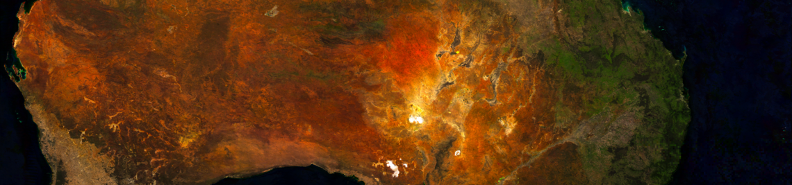
In scientific practice, however, individual satellite images are rarely considered. Instead, the focus is on the analysis of time series. A satellite image time series comprises several images of the same region over a defined period of time. The temporal resolution varies depending on the orbits of the respective Earth observation satellites.
Aim of the research project
This research project involves developing a Python library that covers the entire satellite image processing workflow – from automated data download and efficient preprocessing to the calculation of indices and band combinations from satellite image time series.
To improve performance, modern computing methods such as multithreading, multiprocessing, and the outsourcing of computationally intensive processes to the GPU are being used.
Functional components of the library
A key objective is to provide modular and reusable processing steps, including:
- Cropping (spatial cropping)
- Reprojecting (coordinate transformation)
- Resampling (adjustment of spatial resolution)
- Merging (combining multiple scenes)
- Masking (e.g., cloud or shadow masks)
In addition, a processing baseline is implemented that enables efficient and reproducible application of these steps—from raw data to the finished, analyzable time series.
Geospatial harmonization of various satellite data
Another focus is on the harmonization of satellite data from different missions, in particular:
- Landsal
- Sentinel
- MODIS
- PlanetScope...
After processing, all time series are geographically referenced with pixel accuracy and have a uniform spatial resolution. This harmonization is essential for further data fusion processes, for example to:
- Close cloud gaps
- Increase temporal resolution
In contrast to the purely artificial generation of missing image content, this approach pursues the idea of first merging all available real observation data from different sources before using supplementary algorithms for data completion.
Documentation
Detailed documentation of the Python library developed can be found here.