Launch3D
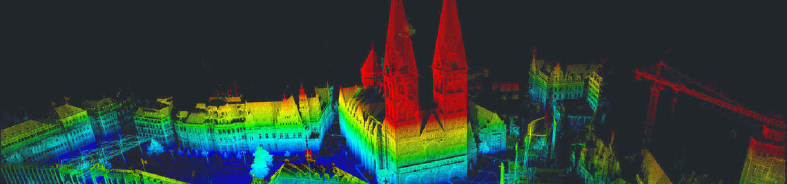
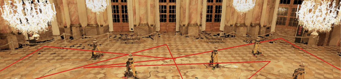
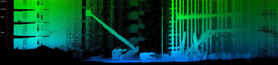
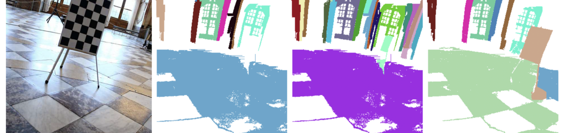
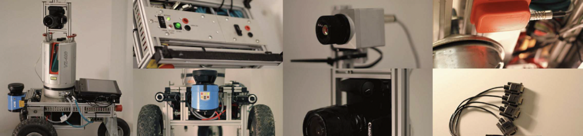
For many archaeological sites, there is a need for precise digitization in order to preserve the sensitive cultural assets and make them accessible to a wider public. The LAUNCH-3D project will focus on the digitization of underwater archaeological sites. Through the project, new digital, non-invasive, multi-dimensional documentation methods will be developed to assist in the documentation and preservation of cultural assets. An underwater 3D laser scanner based on the triangulation principle will be developed to capture highly detailed and precise surface geometry. In combination with photogrammetry, this model will also be colorized with camera images. This combined sensor system will allow for improved archaeological documentation. The resulting dataset will thus effectively provide a comprehensive state-of-the-art inventory of monuments, allowing for effective risk analysis and management of the property as a whole, as well as efficient archiving of archaeological finds.
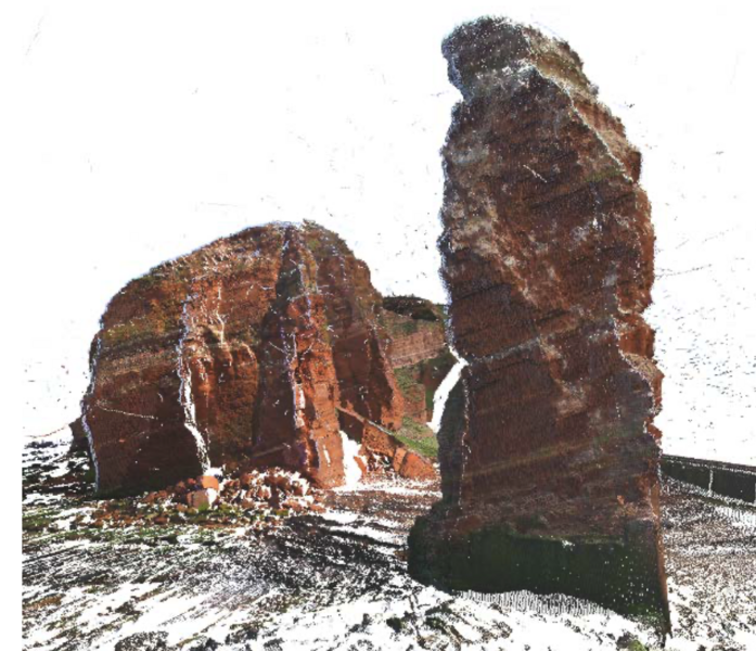
The proposed methodology will be applied to various archaeological sites in both countries with different historical, archaeological, and technical conditions, for example, historic shipwrecks in the Red Sea, such as the Thistlegorm ship that sank in 1941, or the remains of prehistoric pile dwellings in Lake Constance in Germany. Research activities will also focus on how the 3D data can be made available for educational and tourism applications in addition to documentation and monument preservation. In conjunction with the 3D acquisition, a mixed reality application for mobile devices will therefore be developed as an interactive guide for on-site viewing that can provide multimedia information according to the user's position and movement.